Nor'easter to bring wind and mixed precipitation to New England
A storm system is expected to arrive late Thursday, with snow possible in higher elevations and wind gusts exceeding 40 mph along the coast.
By Claire Darwish ·
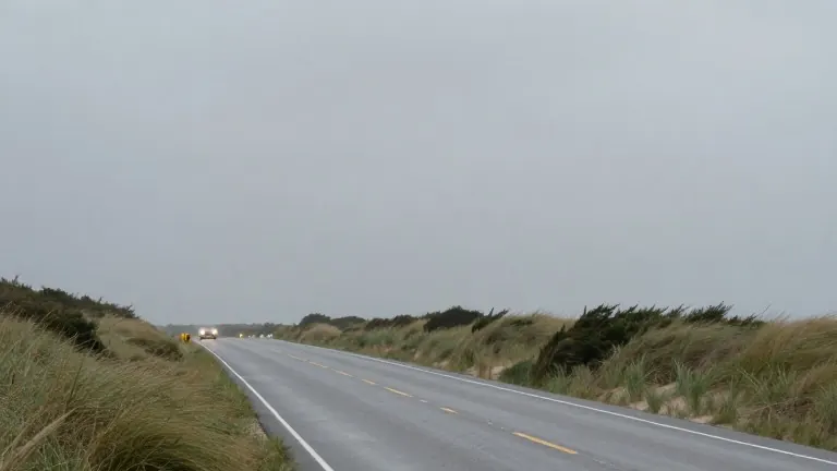
New England enters the workweek under a blanket of persistent cloud cover that will persist through Wednesday. After three days of mid-to-upper 50s temperatures, a powerful weather system is expected to arrive late Thursday, marking a sharp shift in regional conditions.
The current mild spell is driven by a weak atmospheric pattern that offers little temperature variation. Today brings a passing shower threat, though precipitation is expected to be light, potentially leaving only scattered puddles. Tonight, clouds will remain thick, and the sky will remain largely overcast.
Tomorrow and Wednesday will be the drier days of the week, with Wednesday likely providing the most sunshine. These days will also serve as the final stretch of mild weather before the system arrives. Temperatures are expected to hold in the mid-to-upper 50s range before cooling begins.
The nor'easter is expected to form with strong winds and heavy rain. While the exact track and intensity remain uncertain until Tuesday or Wednesday, forecasters are confident a distinct storm will develop. This system is strong enough to pull colder air into the region, creating the potential for the first snowflakes of the season.
Snow is likely to mix in across Northern New England on Friday. As the storm moves east, precipitation may descend into the higher terrain of Southern New England on Friday night or very early Saturday. Along the coast, rain is expected to dominate throughout the duration of the event.
Wind gusts could exceed 40 mph, particularly in coastal areas. The storm is scheduled to begin late Thursday and conclude by early Saturday morning or very late Friday night. Forecasters will continue to monitor the system's development throughout the week to refine snowfall and wind projections.